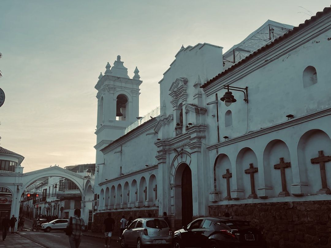
The standard Bolivia itinerary is short and largely horizontal: arrive in La Paz, go to Uyuni, cross into Chile. It captures the country's most famous landscape and almost nothing of the country.
What rewards a slower approach is Bolivia's vertical range. It runs from altiplano above 4,000 metres down through cloud forest to Amazon lowland, and the descent is where most of the interest lies.
Sucre, and why to stay a while
Bolivia's constitutional capital and its most agreeable city, at around 2,800 metres — high, but a great deal easier than La Paz, and many people find it the place where their body finally settles.
It is a whitewashed colonial centre with a university that has been running since the sixteenth century, and it has become the country's Spanish-study town for good reason: it is cheap, walkable, safe by the standards of most Latin American cities, and pleasant enough that a week becomes three.
This is the single best place in Bolivia to stop moving. If your trip has room for one base, make it this one.
Potosí, and what the silver cost
Two hours away and much higher, at over 4,000 metres. Potosí was, for a period in the sixteenth and seventeenth centuries, one of the largest and richest cities in the world, built on the silver of Cerro Rico — the mountain above it.
That wealth was extracted at a human cost that is difficult to overstate, using forced indigenous labour and later enslaved Africans, over generations. The mountain is still worked today by cooperatives, in conditions that remain dangerous.
Mine tours are offered and are ethically complicated. Some are run by former miners and channel money back into the cooperatives; others are straightforwardly extractive in a different sense. If you go, choose carefully, and understand that you are visiting a working mine where people are injured, not a museum.
The Yungas
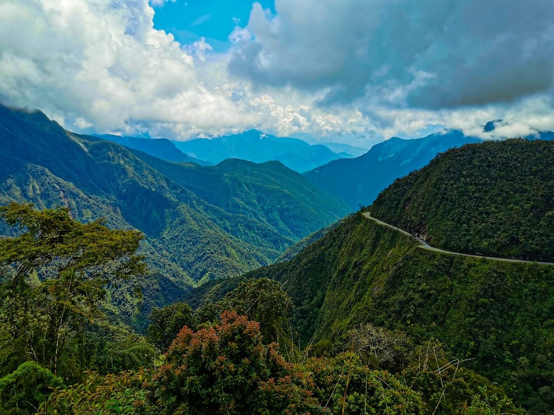
The descent from the altiplano into the Yungas is one of the most dramatic short journeys in South America — from bare high plateau over a pass and down into humid cloud forest, dropping thousands of metres in a few hours.
Coroico, at around 1,700 metres, is where the road ends up: warm, green, full of birds, and a genuine physical relief after weeks at altitude. Coffee and coca are grown on the slopes, and there is very little to do beyond walking, swimming and sleeping, which is the point.
Most travellers see this road on a mountain bike as a one-day activity and continue back up the same evening. Staying two nights at the bottom is a better idea.
Chiquitania and the Jesuit missions
The part of Bolivia almost nobody visits. In the eastern lowlands beyond Santa Cruz, a circuit of small towns holds the surviving Jesuit mission churches built in the eighteenth century — timber and adobe, elaborately painted, and unlike anything else on the continent.
They are UNESCO-listed, they are still parish churches rather than exhibits, and the region maintains a living tradition of baroque music that the missions introduced. It takes days to reach and days to travel between, and that is precisely why it is intact.
How altitude shapes the route
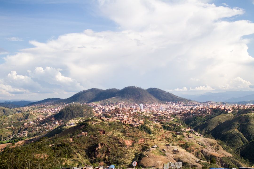
Plan the trip as a descent where you can. Arriving overland from Peru via Lake Titicaca, spending time in La Paz, then working down through Sucre to the Yungas or the lowlands gives your body a sensible profile and gives the trip a natural arc.
Flying straight into El Alto at over 4,000 metres and immediately taking a bus to Uyuni is the opposite, and it is why so many people remember Bolivia as the country where they had a headache.
Practicalities
Buses connect everything, cheaply and slowly, and are less comfortable than in Peru, Chile or Argentina. Where a flight exists on a long route it is worth considering.
Carry cash. Cards are accepted less widely than in neighbouring countries and rural ATMs are unreliable. Spanish is more necessary here than almost anywhere else on the continent, and a little of it changes the trip substantially.