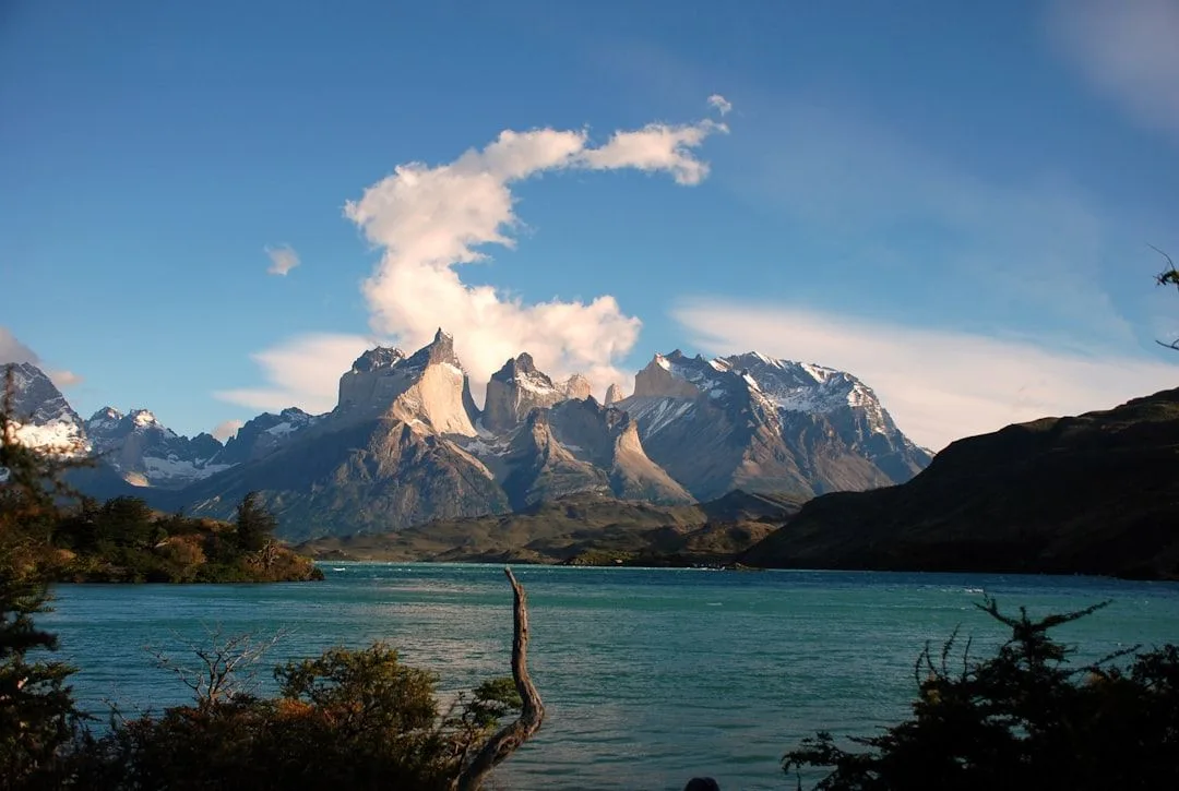
Nepal is one of the few places where the pace of travel is set by physiology rather than preference. Above 3,000 metres your itinerary is a function of how fast your body adapts, and the trekkers who override that are the ones who end up on a helicopter.
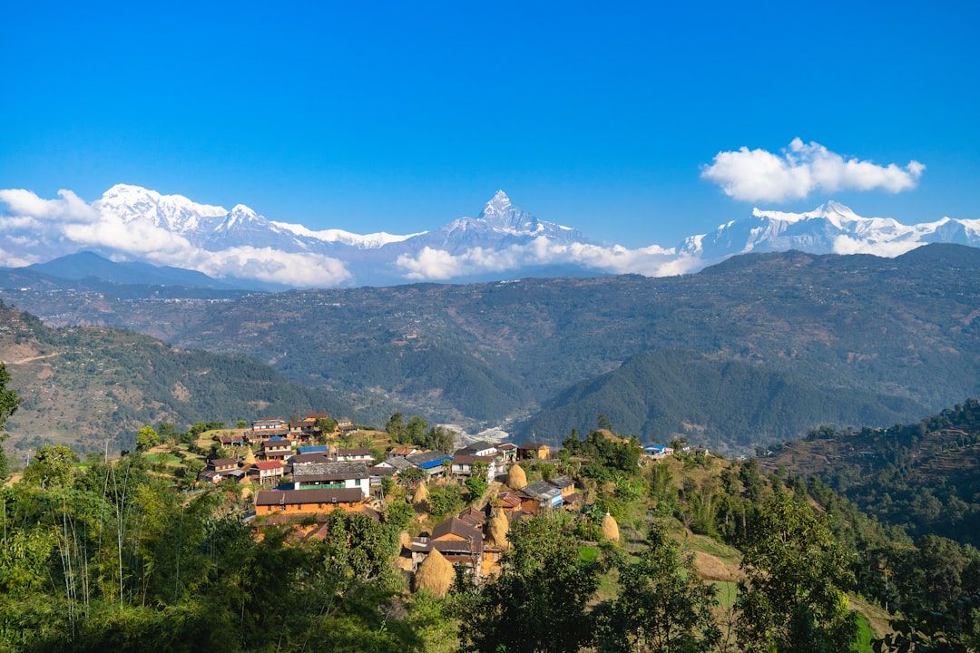
Acclimatisation, which is the whole thing
The rules are simple and widely ignored:
Above 3,000 metres, gain no more than 300–500 metres of sleeping altitude per day. You can walk higher during the day; it is where you sleep that counts.
Take a rest day every 1,000 metres of gain.
Climb high, sleep low where the route allows — a walk up to a viewpoint and back down to sleep is the standard acclimatisation day.
Descend if symptoms worsen. Headache, nausea, breathlessness at rest and loss of coordination are the warning signs. Descending 500 metres usually resolves them, and descent is the only reliable treatment. Nothing about being fit, young or determined protects you.
Diamox can help but is an aid to a sensible schedule rather than a substitute for one.
Permits, which change
Requirements have been revised several times in recent years, including rules on whether independent trekking without a licensed guide is permitted in particular regions.
Generally you will need a conservation area or national park permit for your specific region — ACAP for Annapurna, Sagarmatha for Everest — and in many areas a TIMS card or a local municipality permit.
Confirm the current position at the Nepal Tourism Board office in Kathmandu or Pokhara rather than relying on any article, including this one. Checkpoints on the trails do verify.
The two main routes compared
| Annapurna (ABC / Poon Hill) | Everest Base Camp | |
|---|---|---|
| Access | Drive from Pokhara | Flight to Lukla, weather-dependent |
| Max altitude | ~4,130 m | ~5,545 m (Kala Patthar) |
| Duration | 4–12 days | 12–16 days |
| Cost | Lower | Higher (flight, altitude) |
| Best for | First trek | The specific destination |
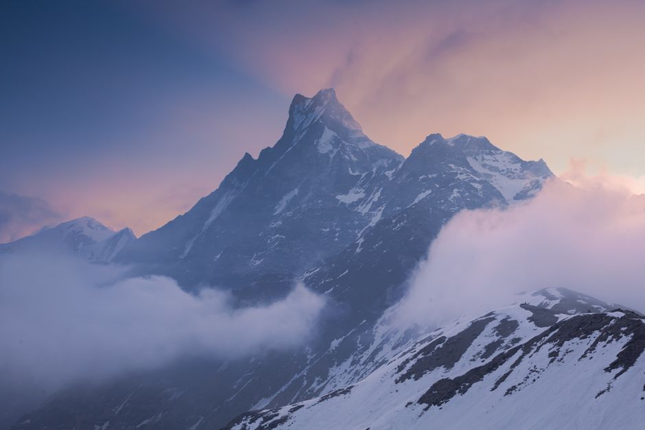
Annapurna starts lower, gains altitude more gradually, and is reached by road. Everest requires the Lukla flight, which is regularly delayed for days by weather — build buffer days at both ends or you will miss an international connection.
The Manaslu circuit and Langtang are quieter alternatives with fewer trekkers on the trail.
Teahouses
The teahouse system is what makes Nepal trekking accessible: family-run lodges every few hours along the main routes, so you carry clothing rather than a tent and food.
| Item | Lower | High altitude |
|---|---|---|
| Room | $3–8 | $8–15 |
| Dal bhat | $4–6 | $8–12 |
| Hot shower | $2–4 | $5–8 |
| Device charging | $1–3 | $4–8 |
Prices rise with altitude because everything is carried up by porter or mule. Dal bhat — rice, lentils and vegetables — comes with free refills and is what the porters eat for good reason.
Rooms are often free or nominal if you eat dinner and breakfast at the lodge, which is the expected arrangement.
Guides and porters
A guide costs $25–35 a day, a porter $18–25. Beyond navigation, a guide handles teahouse arrangements, monitors your altitude symptoms and provides context you will not otherwise get.
If you hire a porter, check they have adequate clothing and footwear and that their load is reasonable — 25 kg is the accepted maximum and it is not always respected.
Season
October and November — the best months. Clear skies after the monsoon, stable weather, busy trails.
March to May — warmer, rhododendrons in bloom, more haze.
Monsoon, June to September — leeches, cloud, landslides, and flights to Lukla frequently cancelled. The rain-shadow regions of Mustang and Dolpo are the exception and are at their best then.
Winter — clear and very cold, with high passes snowed in. Lower routes remain viable.