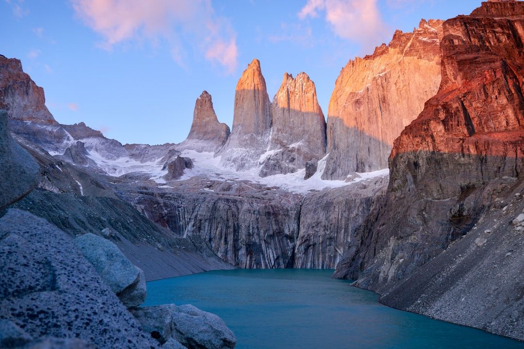
The first thing to understand about Chilean Patagonia is that it is not one destination. There is a southern trip built around Torres del Paine, and a northern one built around the Carretera Austral, and they are about a thousand kilometres apart with no direct road linking them through Chile. People discover this after booking flights.
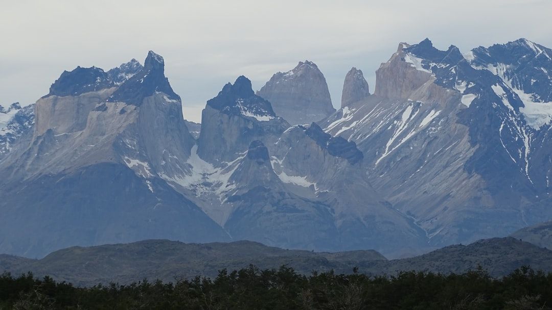
The south: Torres del Paine
The reason most people come. A compact massif of granite towers, glaciers and turquoise lakes, and one of the great trekking areas anywhere.
Two main routes. The W takes four to five days and covers the three main valleys, including the ascent to the base of the towers. The O circuit adds the back side of the massif and takes seven to nine days, is quieter, and includes the crossing of the John Gardner pass with the Grey glacier below — the single best thing in the park.
Booking is the part people get wrong. Accommodation inside the park — refugios and designated campsites — must be reserved in advance, is operated by more than one company, and sells out months ahead for December to February. You cannot walk the circuits without a confirmed booking for every night, and wild camping is not permitted. Start with the accommodation and build the trip around what you can get.
Puerto Natales is the base town: gear hire, supplies, buses into the park, and the place where the trip actually gets organised.
The north: the Carretera Austral
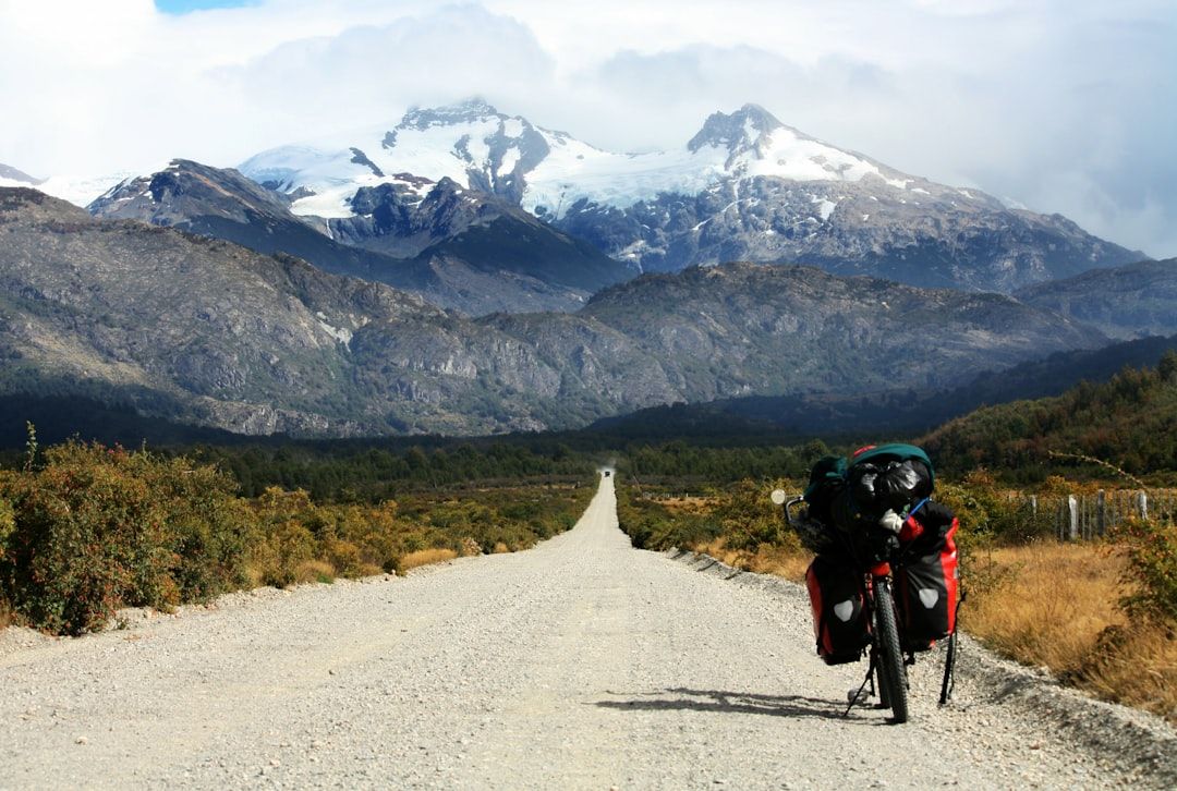
A different proposition entirely, and my preference. Route 7 runs roughly 1,200 kilometres from Puerto Montt south through temperate rainforest, past fjords, hanging glaciers and rivers of an implausible blue, ending at Villa O'Higgins where the road simply stops.
Much of it is unsealed. Progress is slow, several sections require ferries that run to a limited timetable, and fuel stops are far apart. This is the trip for people who want the journey rather than a summit.
Highlights along the way include the Queulat hanging glacier, the marble caves on Lake General Carrera, and Cerro Castillo, which offers trekking comparable to Torres del Paine with a fraction of the people and none of the booking system.
Hire the vehicle in Chile and check the paperwork carefully if you intend to cross into Argentina — a permit is required and cannot be arranged at the border.
Wind, which is not a detail
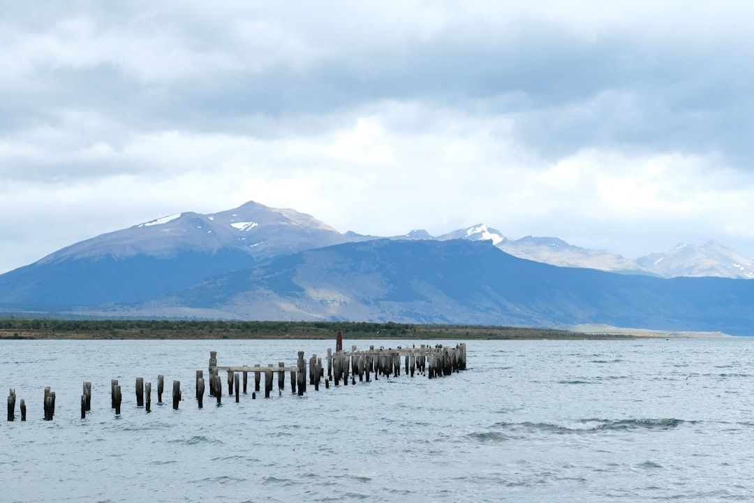
Patagonian wind deserves its reputation. In spring and summer it blows sustained and hard, and on exposed ground it can genuinely knock you over. It is the reason lightweight three-season tents fail here and the reason hikers are advised to walk certain sections in a particular direction.
Practical consequences: a properly wind-rated tent if you are camping, poles for balance rather than knees, and a willingness to change plans. It also means the weather is fast — a wet morning frequently becomes a clear afternoon, so setting out anyway is often right.
Season
November to March. December through February is the peak for daylight, warmth and crowds, and is when the booking pressure is worst. March is a good compromise, with thinning crowds and autumn colour in the lenga forests. November is quieter and less settled.
Outside that window most services close, ferries reduce, and parts of the Carretera become impractical.
Choosing between them
If you have ten days and want the famous trek, fly to Punta Arenas, base in Puerto Natales, walk the W or the O, and accept that you will not see the north.
If you have three weeks and prefer driving, ferries and empty road to a booked itinerary, take the Carretera Austral and leave Torres del Paine for another trip.
Trying to do both in two weeks means a domestic flight, two hire cars and a lot of time in transit, and it is the most common way to spoil a Patagonian trip.